Map Gallery

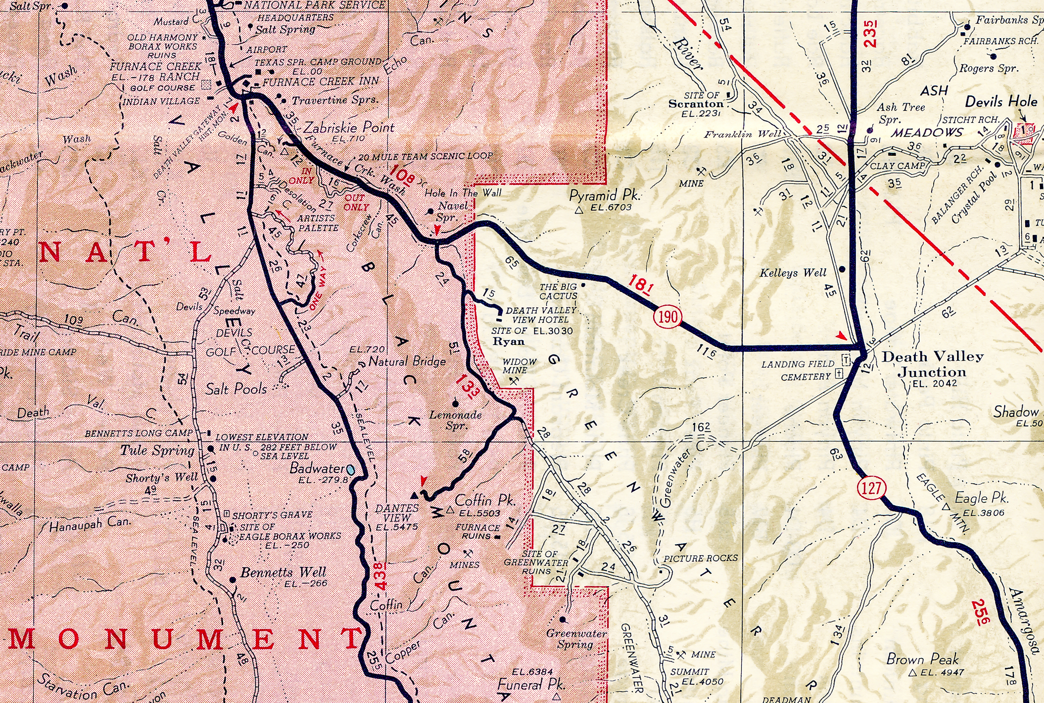
Death Valley Junction. Map by Gordon Chappell & David Quitevis. Courtesy National Park Service, Death Valley National Park.

Ryan, Calif. 1916. Map by Gordon Chappell & David Quitevis. Courtesy National Park Service, Death Valley National Park.

Ryan, Calif. 1928. Map by Gordon Chappell & David Quitevis. Courtesy National Park Service, Death Valley National Park.

1908 Lila C Mine & Traction Road – 30 Minute Series, Furnace Creek Quadrangle United States Geological Survey

1910 Lila C Mine & Ryan with Tonopah & Tidewater Spur Line – 30 Minute Series, Furnace Creek Quadrangle United States Geological Survey

1930 Death Valley Railroad to Colmanite and Devair – 30 Minute Series, Furnace Creek Quadrangle United States Geological Survey

1947 Death Valley Railroad to Colmanite and Devair – 30 Minute Series, Furnace Creek Quadrangle United States Geological Survey

1952 Furnace Creek (Upper left is the Harmony Borax works and lower right is Corkscrew Canyon) 15 Minute Series, Furnace Creek Quadrangle United States Geological Survey

1952 Ryan Quadrangle, 15 Minute Series, United States Geological Survey
1955 Desert Quadrangle, Automobile Club of Southern California

1988 Ryan Quadrangle, 7.5 Minute Series, United States Geological Survey

Inyo County Parcels Ryan Area

DEVA Proposed Addition 06/2009

Golas BLM map 09/08/09
Map attachment “Ryan.BLM.lands.em.pdf” included with email from Henry Golas, DVC 09/08/09

Golas BLM map 09/08/09 Detail View

Golas BLM map 02/04/11
Map attachment “Ryan Proposals 0002.pdf” included with email from Henry Golas, DVC 02/04/11

Golas BLM map 02/04/11 Detail View

Map of land described in the U.S. Borax Inc. Donation Grant Deed for the National Park Service recorded Nov. 22, 2010, Inyo County, California, announced by the Death Valley National Park April 5, 2011.

Properties in Upper Furnace Creek Wash, Courtesy National Park Service, Death Valley National Park

Pingback: Death Valley Railroad - Destination4x4